Your field team just spent an entire shift collecting inspection data in a remote warehouse. When they return to the office, they discover half the GPS coordinates are missing, photos did not attach, and forms never synced. The data is unusable, and the inspection has to be repeated.
This scenario plays out across construction sites, manufacturing facilities, utility inspections, and environmental surveys whenever teams rely on tools that assume constant connectivity. Field data collection software must work offline, capture GPS reliably, and sync automatically when connectivity returns. Anything less wastes time, money, and trust.
This guide explains how to evaluate field data collection software that handles offline mobile data collection, GPS-enabled field surveys, and mobile forms and inspections without connectivity assumptions. It provides a requirements checklist, a pilot testing plan, and clear decision criteria for operations managers choosing tools their field teams will actually use.

Field data collection software digitizes on-site information capture using mobile devices. Workers use phones or tablets to record observations, photos, GPS coordinates, signatures, and measurements in real time.
The software must handle three jobs:
Warehouses, construction sites, and remote locations often have poor or zero cellular coverage. True offline mode stores forms, photos, and GPS locally on the device. Workers complete inspections without checking signal strength. When connectivity returns, the app syncs automatically.
Platforms offering "offline caching" but requiring internet to submit are not truly offline. Workers fill forms, hit submit, and watch them fail.
GPS coordinates confirm that inspections occurred at correct sites, deliveries reached right addresses, or samples came from designated locations. The system timestamps and geotags every submission, creating audit trails that link data to place and time.
For operations with geofencing requirements, the app enforces location-based rules for attendance verification, service confirmation, and inspection validation.
Field workers use phones, not laptops. Mobile-first platforms include camera capture, QR and barcode scanning, digital signatures, and NFC readers, turning phones into complete field inspection tools.
Use this checklist to evaluate platforms. Any platform missing more than two items will create operational friction.
List every inspection, survey, or audit your team runs. Document what data gets collected, where work happens, connectivity reliability, and who needs access.
Choose your most critical workflow. Build the form on each platform with all required fields: text, dropdowns, photos, GPS, signatures, and conditional logic. Test build speed.
Take the form to a no-connectivity location. Fill it completely. Attach photos, capture GPS, sign. Submit offline. Return online and confirm automatic sync with all data intact.
Submit forms from different locations. Confirm latitude, longitude, timestamps, and photo GPS metadata are accurate.
Test filtering by date, location, user, and status. Verify data export and automated reports.
Confirm REST API access, webhooks, or native connectors work with your existing tools.
After shortlisting platforms, run a small pilot before full deployment.
When platforms tie on most factors, test offline reliability and GPS accuracy again. These two features separate tools that work in the field from tools that work in demos.
Clappia is an AI-powered no-code platform built for field operations that need offline mobile data collection, GPS-enabled field surveys, and mobile forms that work in warehouses, construction sites, remote locations, and poor-connectivity environments. It handles field data collection, inspections, site surveys, and audits with native iOS and Android apps that capture photos, GPS, signatures, QR codes, and NFC tags completely offline. Build unlimited field inspection apps, test workflows with real teams, and scale with transparent per-user pricing.
What is field data collection software?Field data collection software digitizes the process of capturing information on site using mobile devices. It replaces paper forms with digital forms that include text inputs, photos, GPS coordinates, signatures, and barcodes, with automatic syncing to the cloud.
Why does offline mode matter for field data collection?Warehouses, basements, rural sites, and remote locations often have poor or zero connectivity. Offline mode lets field workers complete forms, capture photos, and collect GPS without internet. Data syncs automatically when connection returns, preventing lost submissions and repeated inspections.
How accurate is GPS in field data collection apps?GPS accuracy depends on device hardware and environmental factors. In open areas with clear sky, accuracy is typically within a few meters. In urban canyons or under dense tree cover, accuracy may decrease. The best platforms capture GPS automatically and include timestamp metadata for audit trails.
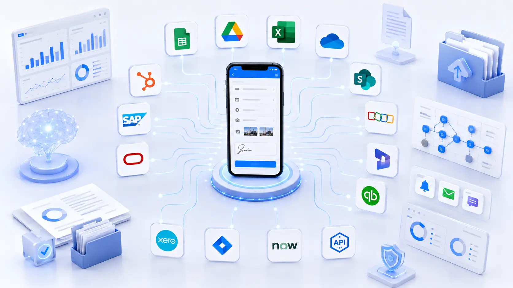
Can field data collection software integrate with our existing ERP or CRM?Yes. Platforms like Clappia offer REST APIs, webhooks, and database connectors that push field data into ERP, CRM, maintenance management, and accounting systems automatically. Integration eliminates manual data transfer and keeps all systems synchronized.
How long does it take to build a field inspection form?With no-code platforms, simple inspection forms take minutes. Complex forms with conditional logic, photo requirements, GPS validation, and signature fields take an hour or two. Platforms requiring code or IT support take longer and create dependencies.
Build field inspection forms with offline capture, GPS tagging, and photo validation that work where your teams actually work.
 Get Started – It’s Free
L374, 1st Floor, 5th Main Rd, Sector 6, HSR Layout, Bengaluru, Karnataka 560102, India
3500 S DuPont Hwy, Dover,
Kent 19901, Delaware, USA


3500 S DuPont Hwy, Dover,
Kent 19901, Delaware, USA
L374, 1st Floor, 5th Main Rd, Sector 6, HSR Layout, Bengaluru, Karnataka 560102, India
.svg)

.avif)
.avif)